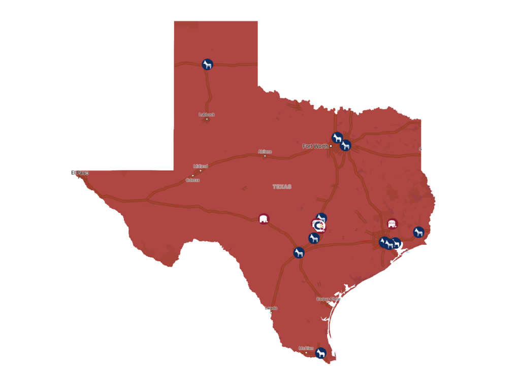
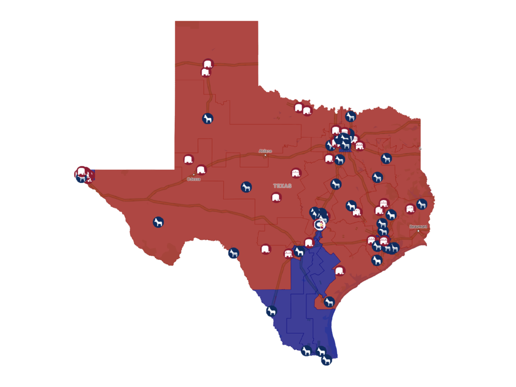
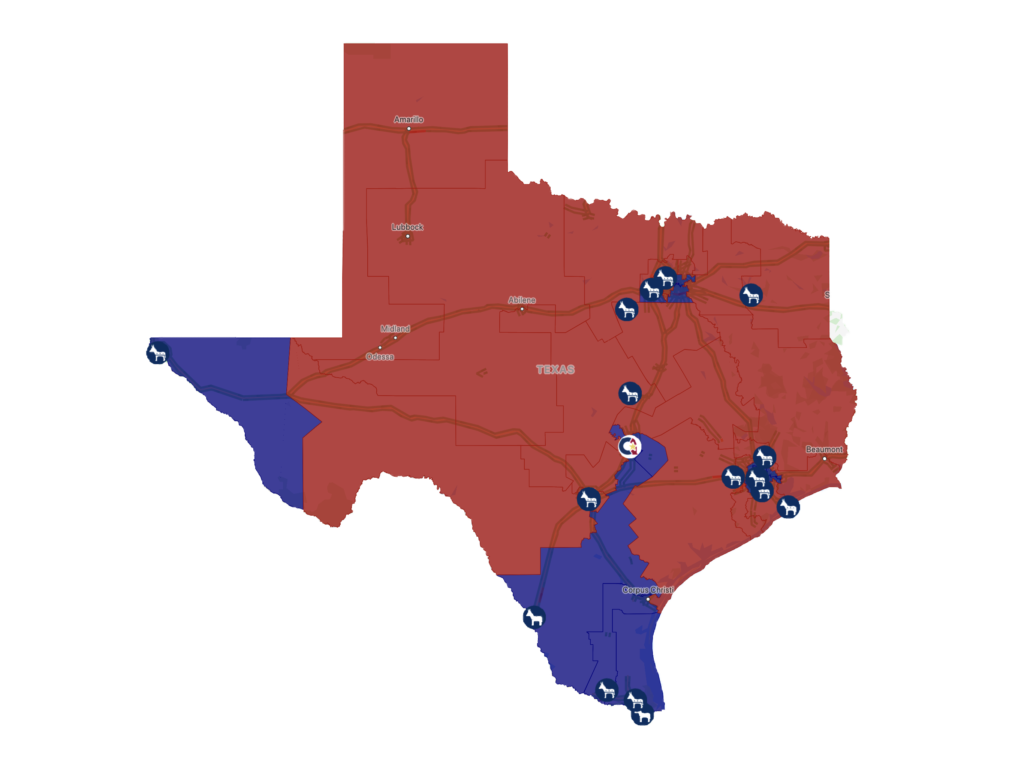
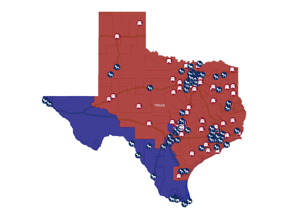
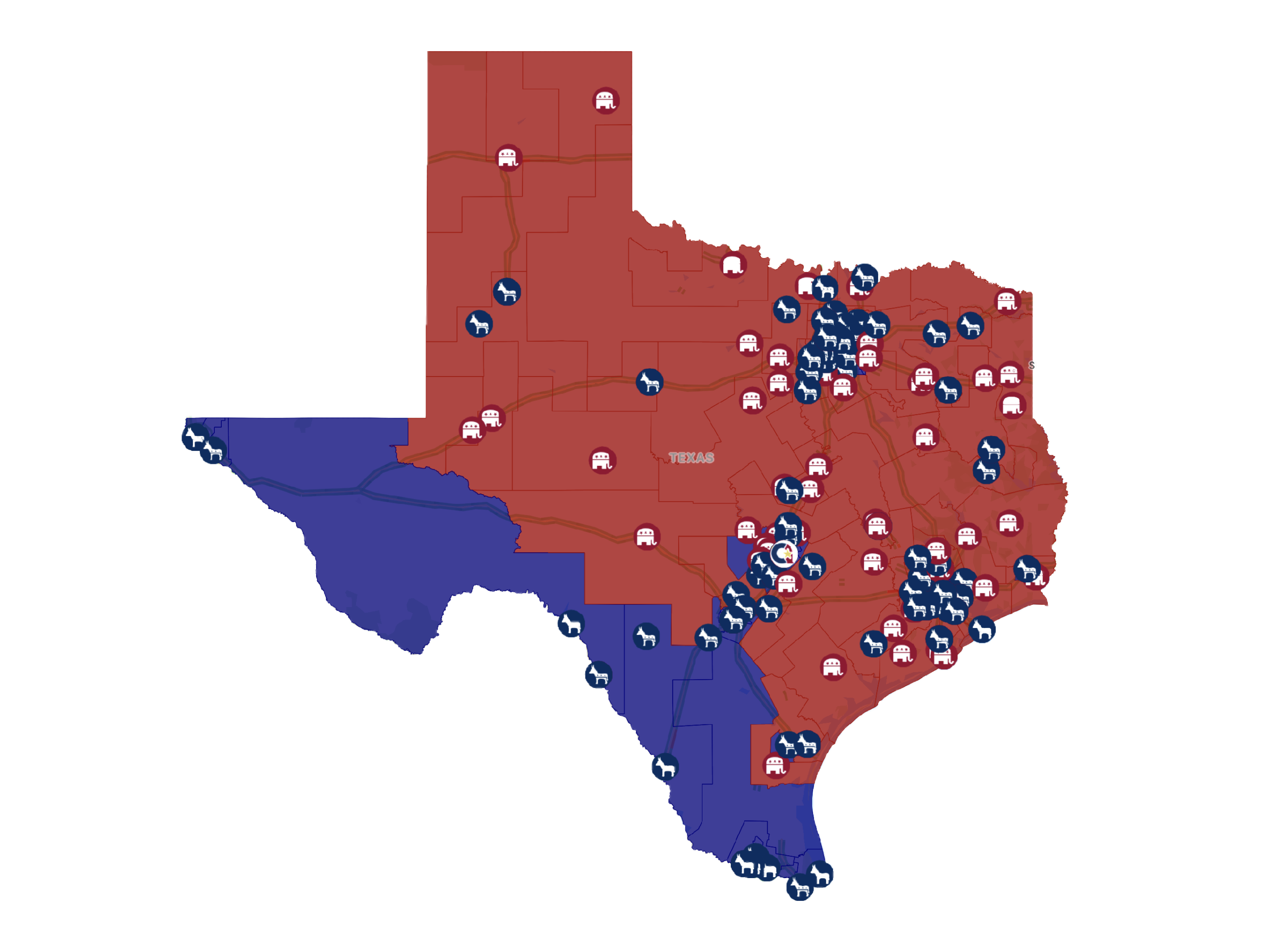
 As an avid student of politics, policy, and current events, I have always wanted to find a clean visual illustration to comprehensively summarize and update legislative and executive branch elections. Don’t get me wrong – I love spreadsheets but while they do a good job collecting data, an eye-catching illustration can convey information so much easier and quicker. So, this holiday season, I spent a little time playing around with Google Earth and Maps. The result – four interactive Texas Election Tracking Maps featuring statewide, Congressional, Senate, and House races.
The Texas Election Tracking Maps feature state, house, senate, and congressional district lines along with candidate filing information based on the Secretary of State’s candidate list. Is it perfect? No, not yet – but we’ll be identifying and correcting any issues as soon as we become aware or as the underlying data is updated.